Montana Land Survey Basics Near Livingston
January 22, 2026
January 22, 2026
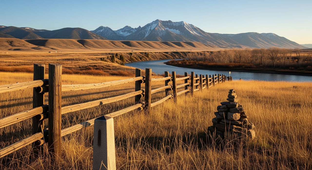
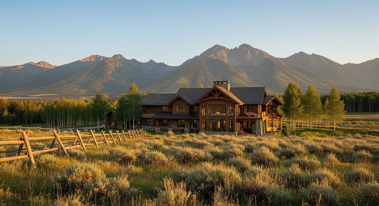
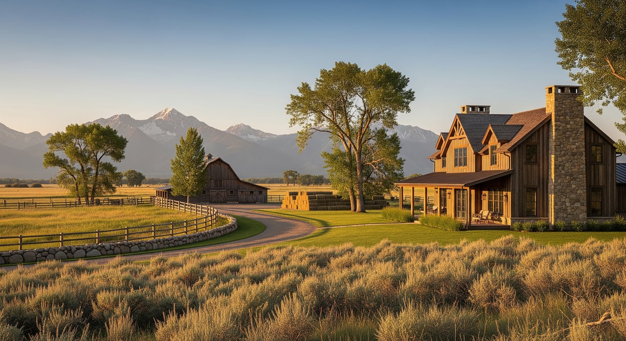
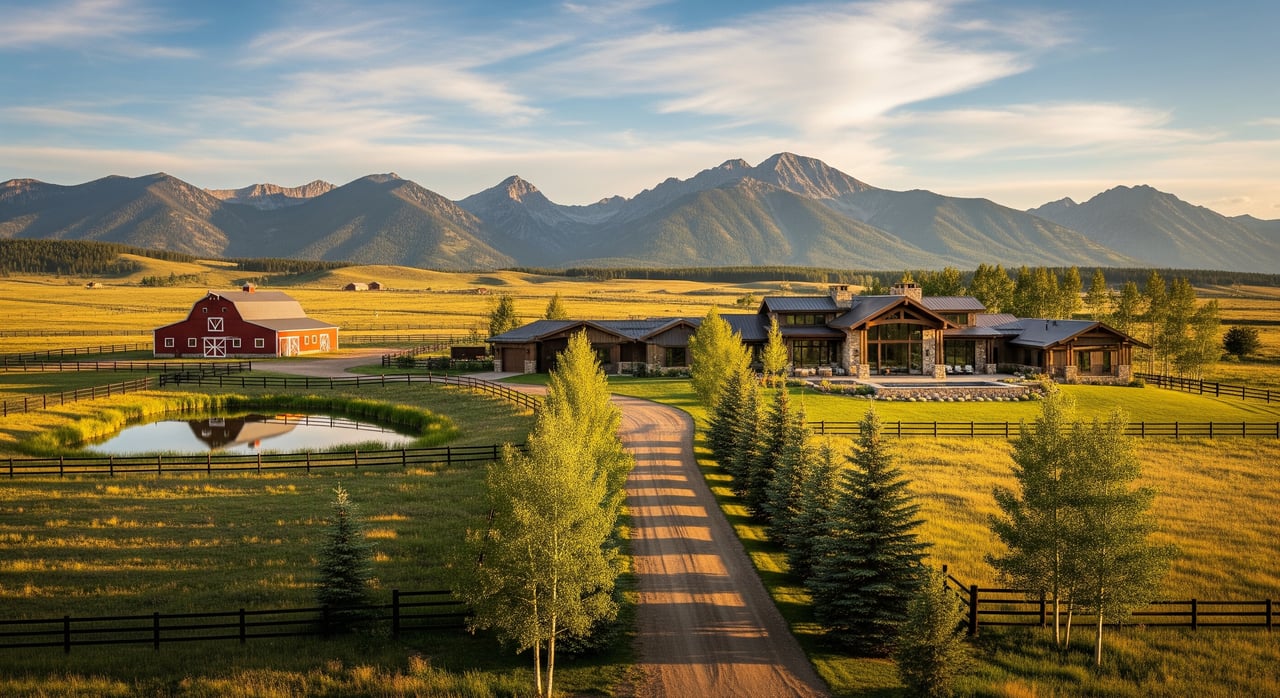
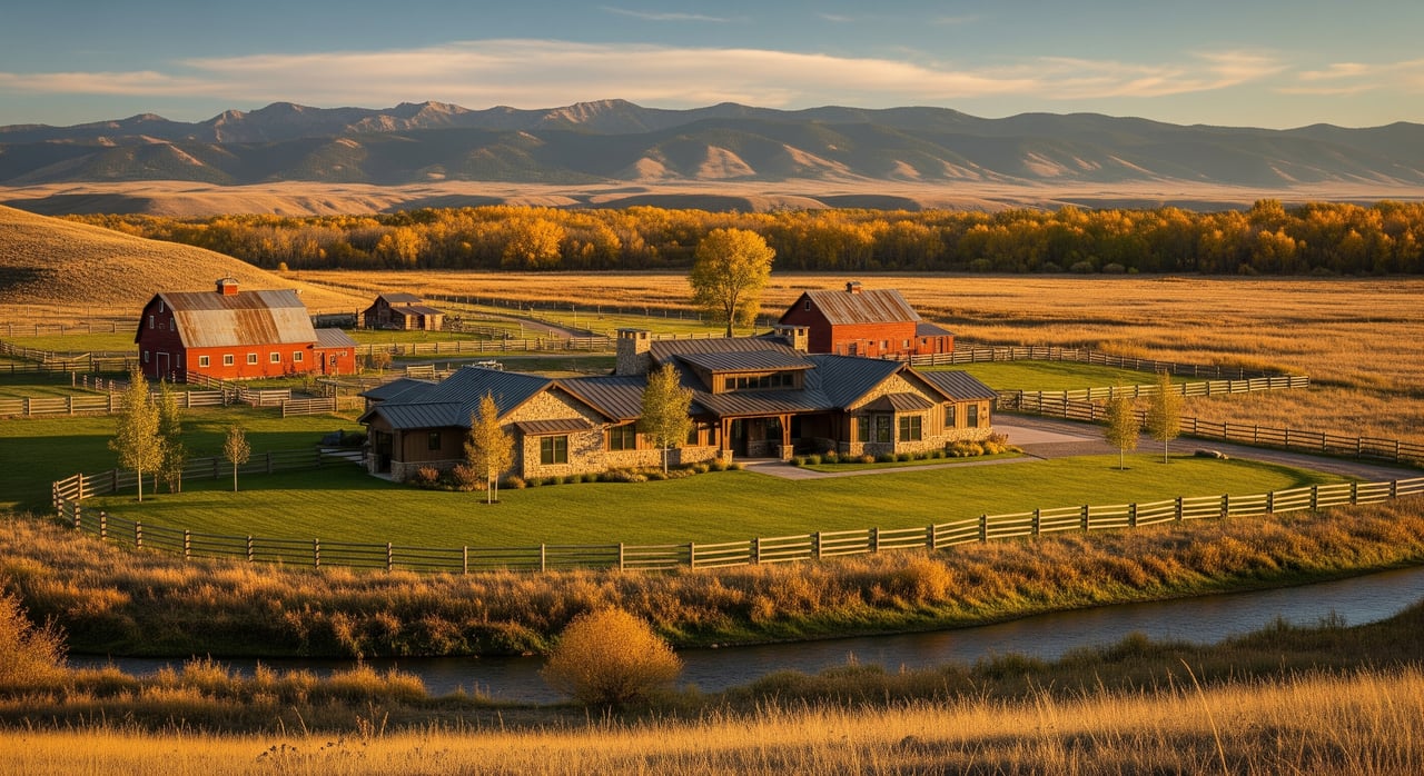
Is that fence really the property line? In the country around Livingston, the answer is often no. If you are sizing up acreage in Park County, you want clarity on boundaries, legal access, and what your lender and title company will expect. This guide breaks down Montana’s survey basics in plain English so you can ask the right questions, avoid surprises, and buy with confidence. Let’s dive in.
Most rural parcels near Livingston are described using the Public Land Survey System, or PLSS. You will see references to township, range, and section, plus aliquot parts like the NW 1/4. These descriptions help you understand approximate location and size within a standardized grid.
What PLSS does not do is guarantee visible, monumented corners on the ground. Many original corners were set long ago and might be disturbed or missing. To translate the paper description into real-world corners, you need a map or GIS layer tied to actual survey monuments and, in many cases, a licensed surveyor to verify what exists in the field.
You can compare a deed’s PLSS description to county and state mapping resources to understand the lay of the land before you visit. A quick look at county parcel maps can show you how a parcel sits within a section and what roads are nearby. Treat those maps as guidance only until a surveyor verifies corners.
A recorded subdivision or survey plat can override a plain PLSS description for a specific parcel. Plats often show lot lines, access and utility easements, road dedications, and sometimes setbacks. If the land is part of a recorded plat, your legal description will follow that lot and block layout.
Park County’s Clerk and Recorder keeps the official record of deeds, plats, easements, and covenants. The county parcel viewer is a helpful reference for parcel boundaries and recorded road rights of way. A title company will pull these records and issue a preliminary commitment that lists exceptions such as easements, liens, or restrictions.
Access is a key point. A recorded easement or public road dedication establishes legal access even if a road crosses private land. If there is no recorded access, you cannot assume you have the right to use a driveway just because it exists. Private roads may be maintained by owners or an HOA, while county and state roads are maintained by public agencies.
It is also common for covenants or CCRs to be recorded separately from a plat. Always review the deed and all recorded documents so you understand use restrictions, shared roads, and maintenance obligations.
On the ground, boundaries are tied to monuments. In Montana, surveyors may find original GLO stones, iron pipes or rebar with caps, brass or concrete monuments, and even natural witnesses noted in historic field books. Over time, farming, road work, and erosion can move or bury older markers.
Here is the practical takeaway: fence lines are not necessarily legal property lines. In rural settings, fences were often built for convenience. They can be offset from the legal boundary, or they can encroach onto neighboring land. Only a licensed land surveyor can establish or re-establish corners and certify a boundary survey that can be recorded and relied on for title.
Common issues include corners that cannot be found, fences that jog off the line, and improvements like sheds, corrals, or driveways that cross the record boundary. A survey documents these conditions so you can address them before you close.
Not all surveys are created equal. A simple mortgage inspection or lender sketch is limited and usually not enough for acreage with access or boundary questions. A boundary survey locates lines, corners, improvements, fences, and visible encroachments and is the minimum many buyers need outside town.
For the most complete picture, lenders often require an ALTA/NSPS Land Title Survey. Prepared to national 2021 standards, it combines boundary location with record easements, rights of way, improvements, and selected items coordinated with the title commitment. Your lender will spell out the required scope in loan conditions.
Title companies issue a preliminary commitment that lists exceptions such as recorded easements, mineral reservations, or rights of way. Your surveyor can review that commitment and depict relevant items on the survey. This coordination can remove or clarify exceptions, which helps your title insurance and financing.
Order surveys early. On larger or complex acreage, locating and verifying old corners, researching access, and mapping easements can take time. Costs vary with acreage, terrain, how many corners need to be retraced or reset, and whether you need topographic detail or an ALTA-level product. Get a written scope and quote from a local licensed surveyor, and confirm what is included.
Use this quick list to focus your due diligence.
Start with Park County offices. The Clerk and Recorder holds deeds, plats, easements, and covenants. The county GIS and parcel viewer is a practical tool for parcel boundaries, recorded plats, and road rights of way. Park County Planning and Zoning can explain subdivision rules, land-use restrictions, setbacks, and permit processes.
For roads, check with the Park County Road Department to confirm whether a road is public, county maintained, or private. If your access connects to a state highway, the Montana Department of Transportation manages approach permits and requirements for driveway connections.
When you are vetting surveyors, confirm they are licensed through the Montana Board of Professional Engineers and Land Surveyors. For broader mapping context, the Montana State Library provides statewide cadastral and PLSS layers, and the BLM’s General Land Office hosts historical plats and field notes. These resources help you frame questions and anticipate survey needs.
Involve the right professionals at the right time. Before you make an offer, talk with your real estate agent, a title company for a preliminary check, and a licensed surveyor to review available records. During your contract’s contingency period, order the required survey, coordinate with title and lender, and resolve access or easement questions. If a survey reveals a discrepancy or a dispute arises, a licensed surveyor and, if needed, a real property attorney can advise next steps.
Buying acreage near Livingston rewards careful preparation. When you understand PLSS descriptions, recorded plats and easements, and how surveys connect to lender and title requirements, you can move forward with confidence. The right plan is simple: verify access, confirm boundaries, and coordinate your survey early so you can focus on the land itself.
If you want a seasoned, discreet guide for the Park County market, connect with Stacie Wells. You will get clear, practical advice tailored to luxury rural and ranch properties across Montana.
Stay up to date on the latest real estate trends.


Get assistance in determining current property value, crafting a competitive offer, writing and negotiating a contract, and much more. Contact Stacie today to discuss all your real estate needs!
Let's Get Started